Introduced by MALIK MERCHANT
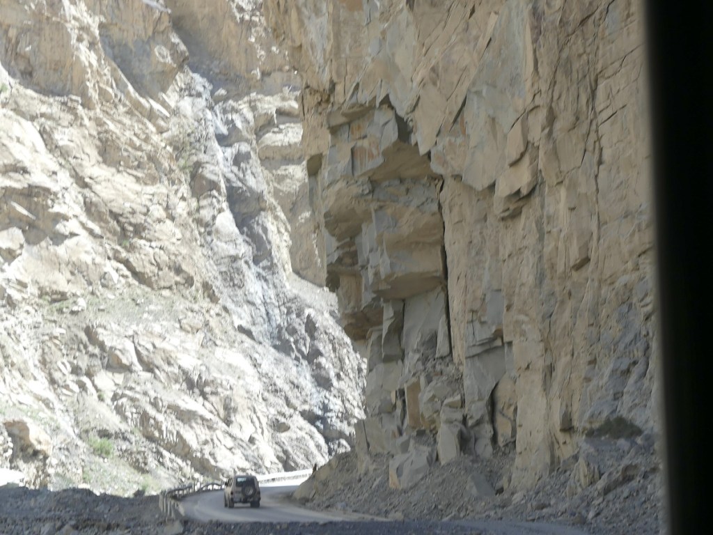
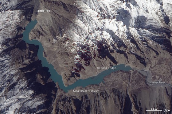
On the unsuspecting day of January 4, 2010, a rockslide, 1,200 meters long, 350 meters wide, and 125 meters high, struck the Hunza River in Attabad, a small community in the Hunza Valley of northern Pakistan, forming Attabad Lake, also known as Lake Gojal (please click on the the link to learn about the scale of the destruction as observed by NASA’s Earth Observing satellite and scientists Jeffrey Kargel and Gregory Leonard).
Story continues below
~~~~~~~~
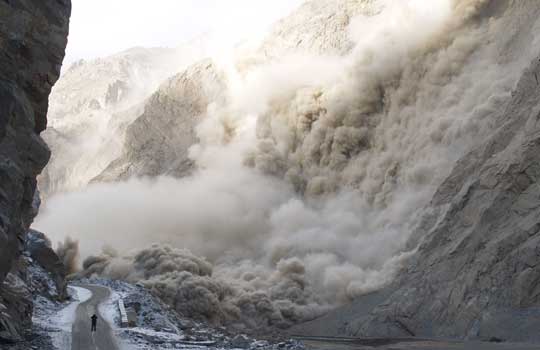
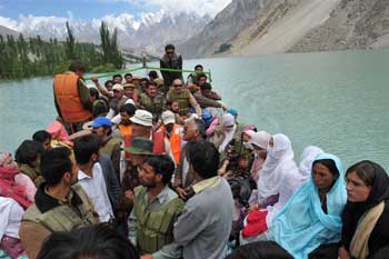
The initial mass movement of rock, in a sudden and unexpected event, buried the village of Attabad, destroying 26 homes and killing 20 people. It also submerged several villages and 22 kilometres of the strategic Karakoram Highway, which links Pakistan and China. Tens of thousands of people were suddenly displaced or cut off from overland connections with the rest of the country, highlighting the immediate impact on the affected residents.
Story continues below

Aysha Imtiaz, in her recent BBC article, highlights the transformation of the Hunza River into a breathtaking lake, which she writes is a must-visit spot in Hunza. Despite its tragic origins, Attabad Lake has become a beacon of hope, providing a rare source of economic opportunity and a lifeline for the local population. A robust system of women entrepreneurs has emerged, leading the way in selling handicrafts and food items, and the community is rebuilding stronger than ever. Please read Aysha’s excellent piece on BBC.
PLEASE CLICK BBC: Attabad Lake — the stunning legacy of a natural disaster

Date posted: July 19, 2025.
Featured photo at the top of the post: Attabad Lake. Photograph: © Ali Karim.
____________________